Saint-Louis, la Venise d’Afrique
13 Ottobre 2022
Berlusconi è una furia, così al via la nuova legislatura
14 Ottobre 2022Saint-Louis, the city most threatened by rising sea levels
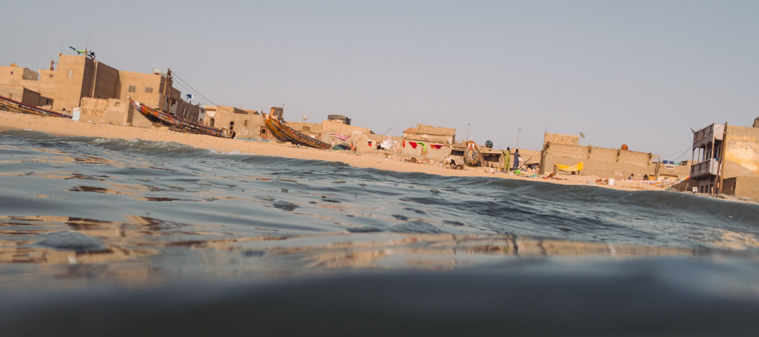
The reportage (In French)of Fabio Ferrari in Senegal. If in our part of the world climate anomalies are only recently developing the perception of an emergency that ignores borders, in other less privileged areas of the planet the term ‘climate change’ has been on the lips of local populations for decades. In Senegal, for example, coastal erosion has already caused thousands of climate refugees. The most serious situation in Saint-Louis.
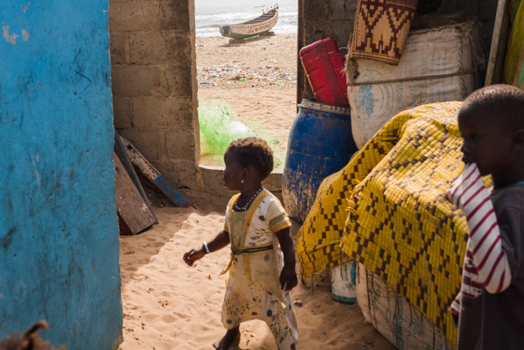
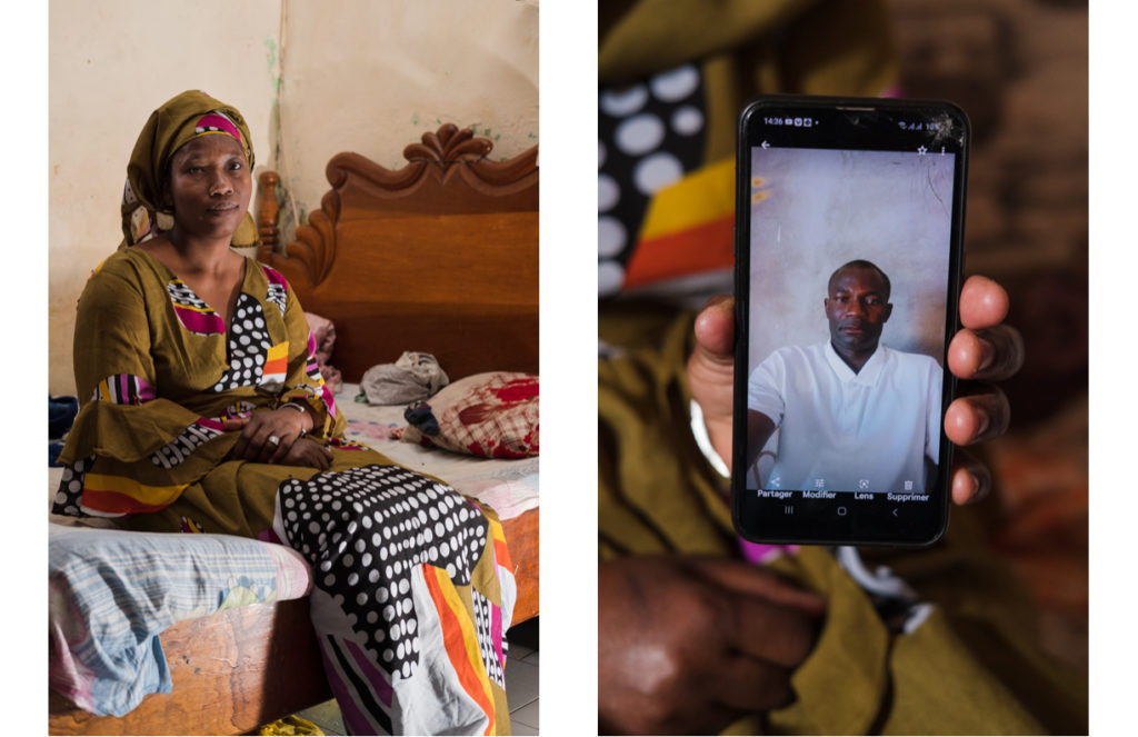
Thiane Sene Diop shows the picture of her husband Birayema Diop. The man, a former fisherman, left his wife and two children in 2007 and embarked with some colleagues to seek his fortune in Europe. “For some time they had beenforced to stay longer on the sea to find fish and sometimes hereturned home practically empty-handed” recalls the woman. Birayema today lives with his new family in Andalusia
Saint-Louis, the city most threatened by rising sea levels in the whole of Africa
If in our part of the world climate anomalies are only recently developing the perception of an emergency that ignores borders, in other less privileged areas of the planet the term ‘climate change’ has been on the lips of local populations for decades. In Senegal, for example, coastal erosion has already caused thousands of climate refugees. The most serious situation in Saint-Louis.
Founded in 1659 and named after Louis XIV, thanks to its strategic position at the mouth of the Senegal river, it became the first French settlement of Western Africa and a major hub for slaves and gum arabic trade. The handover to Dakar just before independence in 1960 marks an economic decline for the ancient capital of Senegal which now bases its economy almost entirely on fishing.
In 2008 the UN Habitat report designated the UNESCO world heritage site as “the city most threatened by rising sea levels in the whole of Africa”¹. This fenomenon added to coastal erosion have pushed the ocean right at the foot of inhabitants of the Langue de Barbarie, a sandy peninsula which protect the city from the pounding Atlantic waves. A study estimates that 5 meters of coast are lost every year².
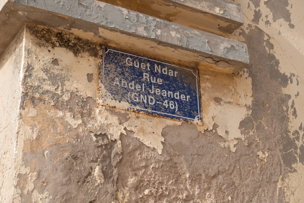
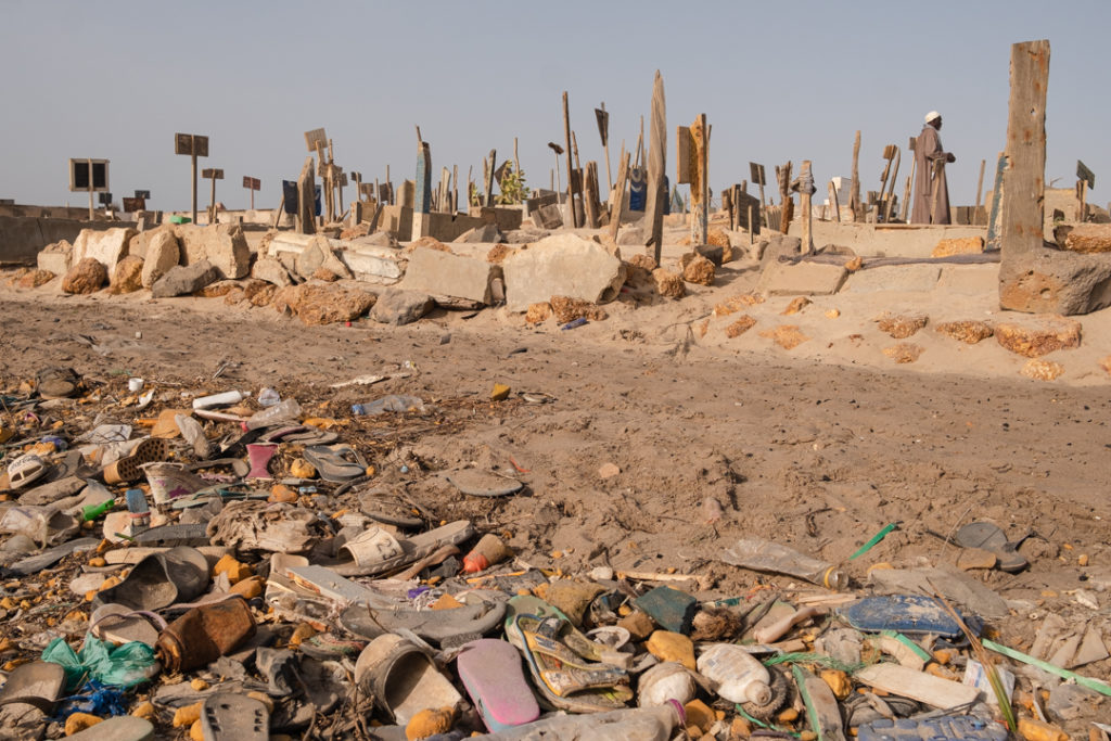
To rage on the population for a couple of decades there are also increasingly frequent extreme events, Guet Ndar is among the most affected neighborhoods. Two major storms in 2017 and 2018, left behind scenes of devastation. In addition to houses and small businesses, a school, a mosque and part of the cemetery have been lost.
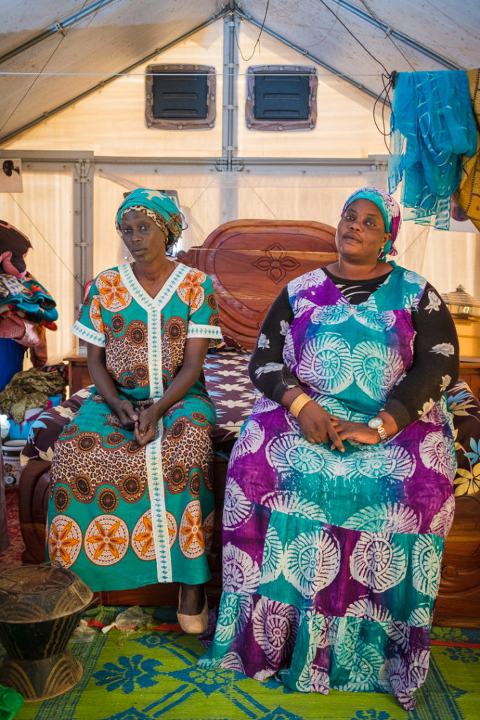
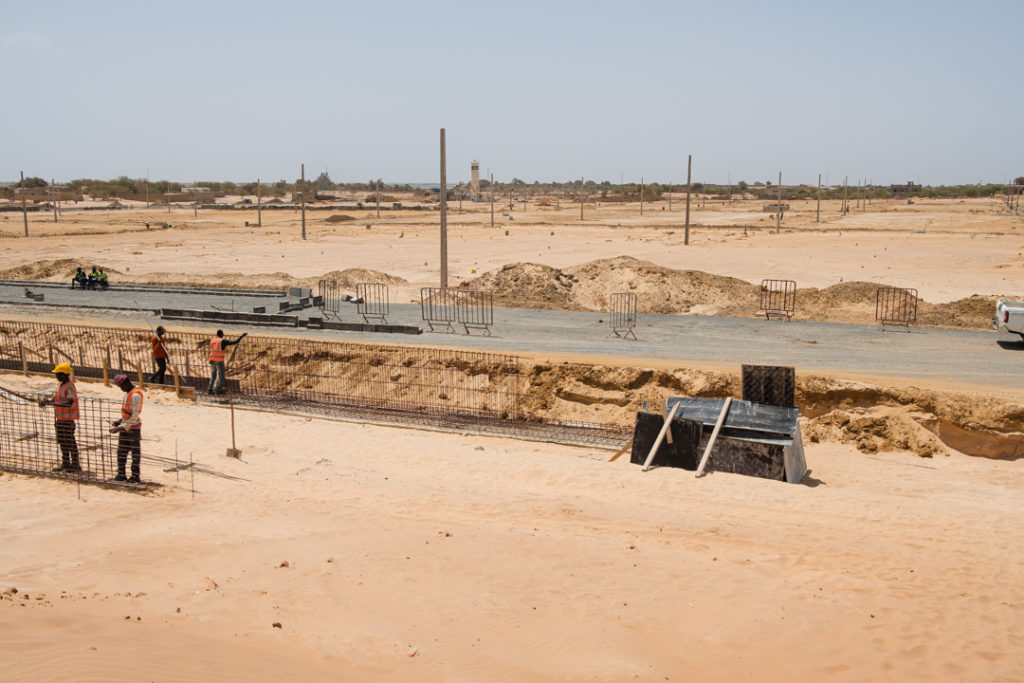
About 300 families now live in the temporary camps of KharYalla and Djougop, located respectively 8 and 10 km from the coast. Alongside the latter, housing are being built that will also accommodate the inhabitants that are currently living within the 20-meter-wide strip considered to be at “high risk of flooding”. A study conducted in 2013 by the Senegalese Ministry of the Environment estimates that 80% of the city of Saint-Louis will be at “high risk” of flooding by 2080, for a total of about 150,000 people displaced.
Local communities have been based around fishing for centuries. However, it is hard to make a living as a fishermantoday. Not only are their homes and basic infrastructures disappearing, changes in maritime currents and temperatures have also affected the availability of fish stocks. This is addedto the negative impact that overfishing is having on Senegalese waters by European and other foreign vessels.
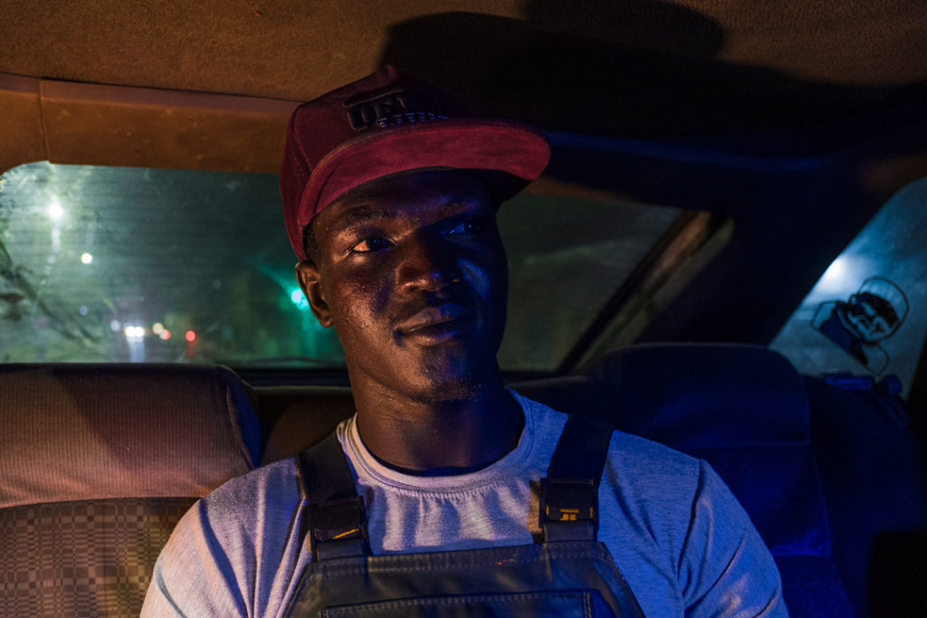
Thousands of desperate Senegalese decide to migrate to Europe every year. Most of the Saint-Louisiens embark on their own pirogues via the so-called ‘West African route’, an often fatal journey of over a week to reach the shores of Canary Islands.
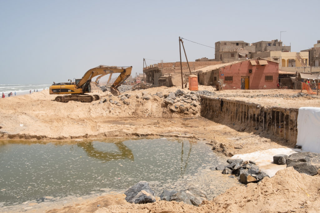
The disaster prompted Senegal to begin building asea-wall in 2019, but it represents a stopgap and some are scepticalthatthe city of 230000 can be saved at all.


